


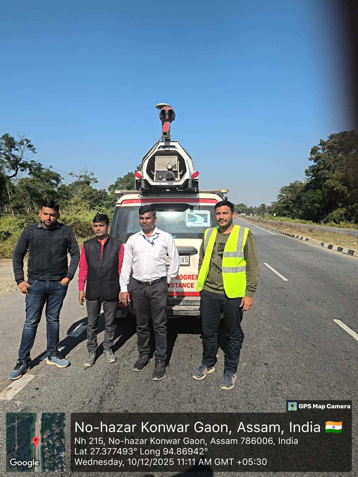
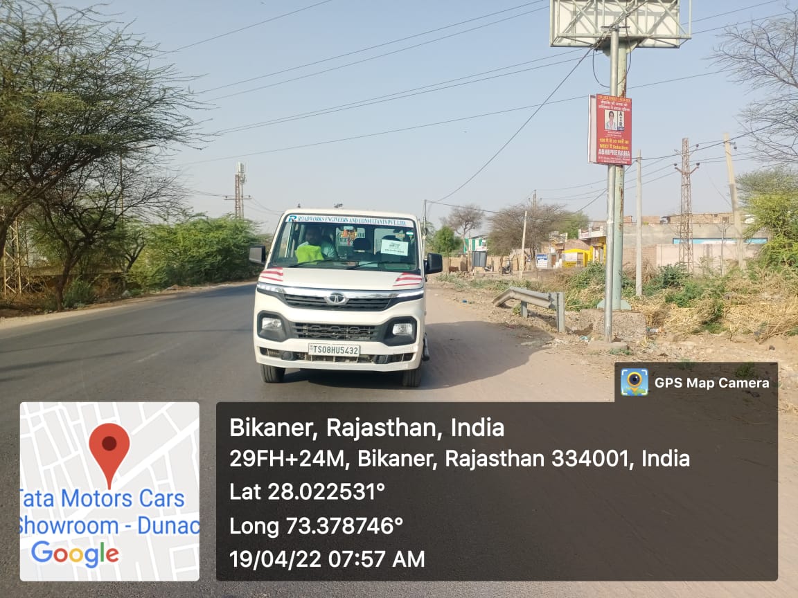
3D Network Survey Vehicle
We provide comprehensive Network Survey Vehicle (NSV) services for NHAI, deploying advanced 3D survey vehicles equipped with high-resolution cameras, LiDAR sensors, and laser profiling systems to capture detailed road network data at highway speeds. All collected data is geo-referenced, processed, and presented through structured reports and interactive platforms, enabling NHAI to make data-driven decisions on maintenance planning, prioritisation.
3D Network Survey Vehicle
Our NSV surveys collect a comprehensive range of pavement and road network parameters including pavement condition index (PCI), international roughness index (IRI), rutting depth, cracking extent and severity, texture depth and skid resistance, road geometry including horizontal and vertical alignment, lane widths and shoulder widths, road inventory including signage, guardrails, culverts, bridges, and utility assets, and right-of-way encroachments.
Falling Weight Deflectometer
Our Falling Weight Deflectometer (FWD) services provide the most reliable and internationally recognised method for non-destructive structural evaluation of road pavements. Deployed extensively across national and state highway networks, our FWD testing enables engineers and highway authorities to accurately assess the structural integrity, load-bearing capacity, and remaining service life of road pavements — without causing any damage to the existing surface.
Falling Weight Deflectometer
FWD services are essential across a wide range of road sector applications including structural evaluation of national and state highways, pavement design validation for new construction, overlay and rehabilitation design for existing carriageways, residual life assessment of highway pavements, forensic investigation of premature pavement failures, load restriction studies and axle load management, and airfield and port pavement structural assessment.

Automatic Traffic Counter and Classifier
We provide comprehensive Automatic Traffic Counter and Classifier (ATCC) services, deploying sensors, radar, and inductive loops embedded in the carriageway to accurately count, classify, and record vehicle movements. Our mapping process geo-references all collected data and plots it onto digital road network maps, identifying high-volume corridors, peak flow patterns, and vehicle classification distribution .
We deliver an interactive web platform that visualises ATCC data through colour-coded traffic density maps, flow charts, and classification breakdowns. Designed for planners, engineers, and transport authorities, our platform transforms raw traffic data into clear, actionable insights — supporting informed decisions on infrastructure design, maintenance prioritisation, and transport policy planning.
Geo Technical Investigation
Our Geotechnical Investigation services provide a thorough understanding of subsurface conditions that are critical to the safe and cost-effective design, construction, and maintenance of road and highway infrastructure. Using advanced field investigation techniques, laboratory testing, and expert engineering analysis, we deliver reliable geotechnical data that underpins every stage of a road project — from feasibility and detailed design through to construction and post-construction monitoring.
Geo Technical Investigation
Our road sector geotechnical investigations are tailored to the specific requirements of each project corridor and cover all critical subsurface parameters needed for pavement design, earthwork planning, slope stability analysis, bridge and structure foundation design, and drainage engineering.Our investigations encompass borehole drilling and sampling, trial pit excavation, Standard Penetration Testing (SPT), Cone Penetration Testing (CPT), in-situ vane shear testing, plate load testing, subgrade CBR testing both in-situ and laboratory, pressuremeter testing, and geophysical surveys including seismic refraction.
Topographic survey
We provide comprehensive Topographic Survey services using the latest field instruments and remote sensing technology. Our surveys deliver precise, reliable spatial data that forms the foundation of every successful infrastructure and construction project.Our topographic survey product captures detailed ground surface information including contours, spot heights, natural features, existing structures, drainage, utilities, and vegetation.y systems.
Topographic survey
Our deliverables include georeferenced contour plans, digital terrain models (DTMs), digital elevation models (DEMs), cross-sections, long sections, and fully annotated CAD drawings compatible with all major design platforms,we will ensuring seamless integration with client design and GIS systems.
We serve clients across highways, rail, utilities, residential development, flood risk assessment, and environmental planning sectors. Our survey teams operate to the highest accuracy standards, with all outputs independently quality-checked before delivery.